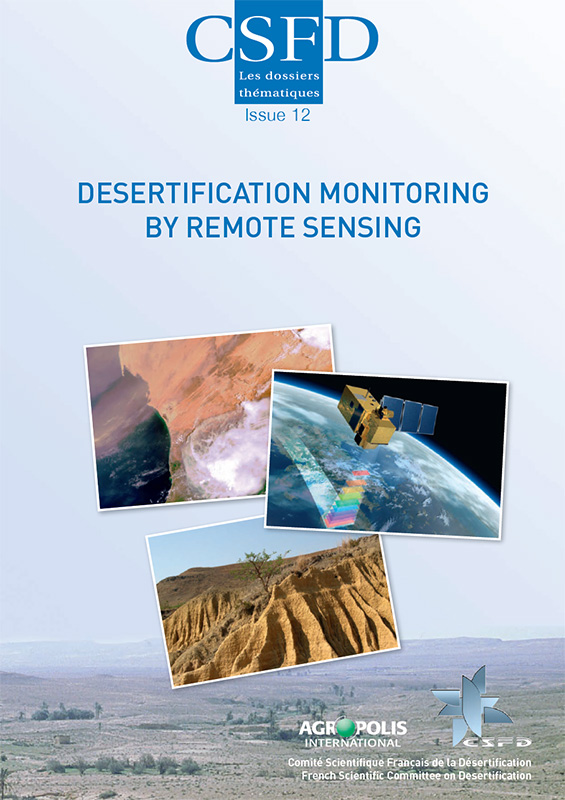
In 2016, roughly a hundred civil remote sensing satellites were monitoring the Earth from space. These satellites collect data—usually in image form—on the entire Earth’s surface, including the most remote and inaccessible areas. They accomplish this task regularly at reasonable cost, thus allowing users to measure, model and monitor the evolution of the environment on different spatiotemporal scales. Remote sensing (all technology and techniques that produce satellite or aerial images) has a broad range of applications in different fields, such as meteorology, environmental science and urbanism.
In the desertification setting, remote sensing provides critical support to help gain insight into the mechanisms involved in this phenomenon. The vast amount of local to global information produced enables scientists to analyse the effects of desertification and measure the stabilization or regression trends over time. Early warning systems and integration of the data in models can even help predict these trends. This information is essential for the development of scenarios and forecasts for various periods, in turn facilitating short-term decision making and the formulation of medium- and long-term strategies to ensure sustainable development.
This Dossier begins with a presentation of a few physics concepts that are essential for understanding remote sensing, and a description of the main parameters that can be monitored by satellite. Several recent examples regarding the various possible uses of satellite images for the purpose of combating desertification are then proposed. The Dossier concludes by offering a guide on practical ways to advance in remote sensing via freeware and satellite images provided free of charge by French, European, and American space agencies.


