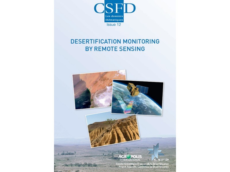
This Dossier begins with a presentation of a few physics concepts that are essential for understanding remote sensing, and a description of the main parameters that can be monitored by satellite. Several recent examples regarding the various possible uses of satellite images for the purpose of combating desertification are then proposed. The Dossier concludes by offering a guide on practical ways to advance in remote sensing via freeware and satellite images provided free of charge by French, European, and American space agencies.
A hard copy version is available from CSFD upon request.


